Vision
MISSION
1. To ensure sustainable rural livelihood of the people with access to all basic amenities and prompt service.
2. Ensure balanced economic advancement with sustainable green environment.
3. Focusing on developing Dzongkhag into commercial hub.
4. Preserve and promote culture heritage and strengthen social harmony.
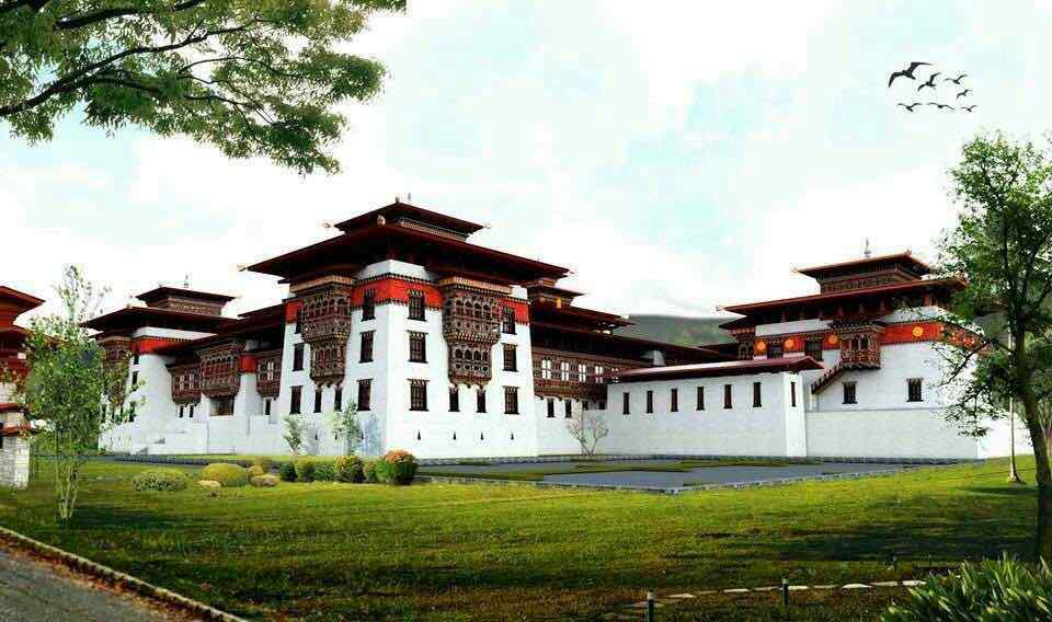
Brief Background
Brief History as an Administrative Center
Behind the Name: The Meaning and History of Sarpang
Strengths and Potentials
The virtue of being located at the border and having 88% of the land under forest cover gives Sarpang more advantages than other Dzongkhags in the country. Hence the potentials are multi-faceted some of which are as specified below:
- Beautiful landscape and its fertility: Sarpang has the most favorable land area in terms of its natural landscape and soil fertility. Most areas are plain where all kinds of crops can be grown and mechanization possible. From the upper stretches of the land can one see a panoramic view of the plains both Bhutan and across the border. Autumn is the season where one can see the land filled with colors of golden paddy fields.
- Socio-Cultural Diversity: Sarpang is one of the districts that presents multi-ethnic and cultural diversity to the country. So has it the linguistic diversity. People showcases their own ethnic norms, religious values and celebrations. However, they are united when it comes to the needs of their own community.
- Easy access to markets: The proximate location of the Dzongkhag to India gives advantages to people from all walks of life. People can buy construction and farming equipment machineries and tools at cheaper prices. Even the labour is inexpensive. Further, as the Gelephu is the major commercial center where people from central parts of Bhutan gather for trade and commerce, most of the agricultural and livestock produces are easily traded. Gelephu infact has been the commercial center as well as gateway to Bhutan till now.
- Bountiful River Bed Material (RBM) Resources: As the Dzongkhag is located at the foothills, the RBM resources are richly available for construction activities both within and outside. Infact, these resources are exported to RBM-deficient country like Bangladesh and neighboring Assam state of India.
- Rich Biodiversity: The fact that 88% of the area under forest cover presents us with rich biodiversity. The two protected areas – namely Royal Manas National Park in the east and Phibsoo Wildlife Sanctuary in the west – is a natural habitat for various species of animals, birds, insects and plants. Even the endangered species like Royal Bengal Tiger and golden langur can be viewed in these parks. Spotted deer, peacock, elephant, gaur and a varied species of other animals add beauty to the forests at all times.
This Dzongkhag could therefore leverage above strengths and opportunities for faster socio-economic growth. Farm mechanization to enhance efficiency in production, promotion of ecotourism and creating enabling environment for trade and commerce could be adopted as the main strategies for socioeconomic development.
Challenges
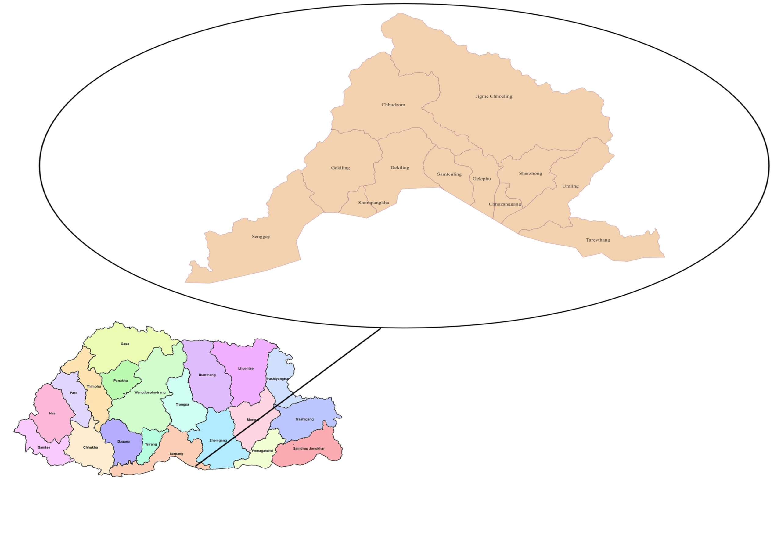
Dzongkhag Map
Contact us
- Dzongkhag Administration Sarpang, Bhutan
- Dzong Post Box No: 104
- Phone No:06365173/06365340
- E-Mail: Demosarpang@gov.bt